


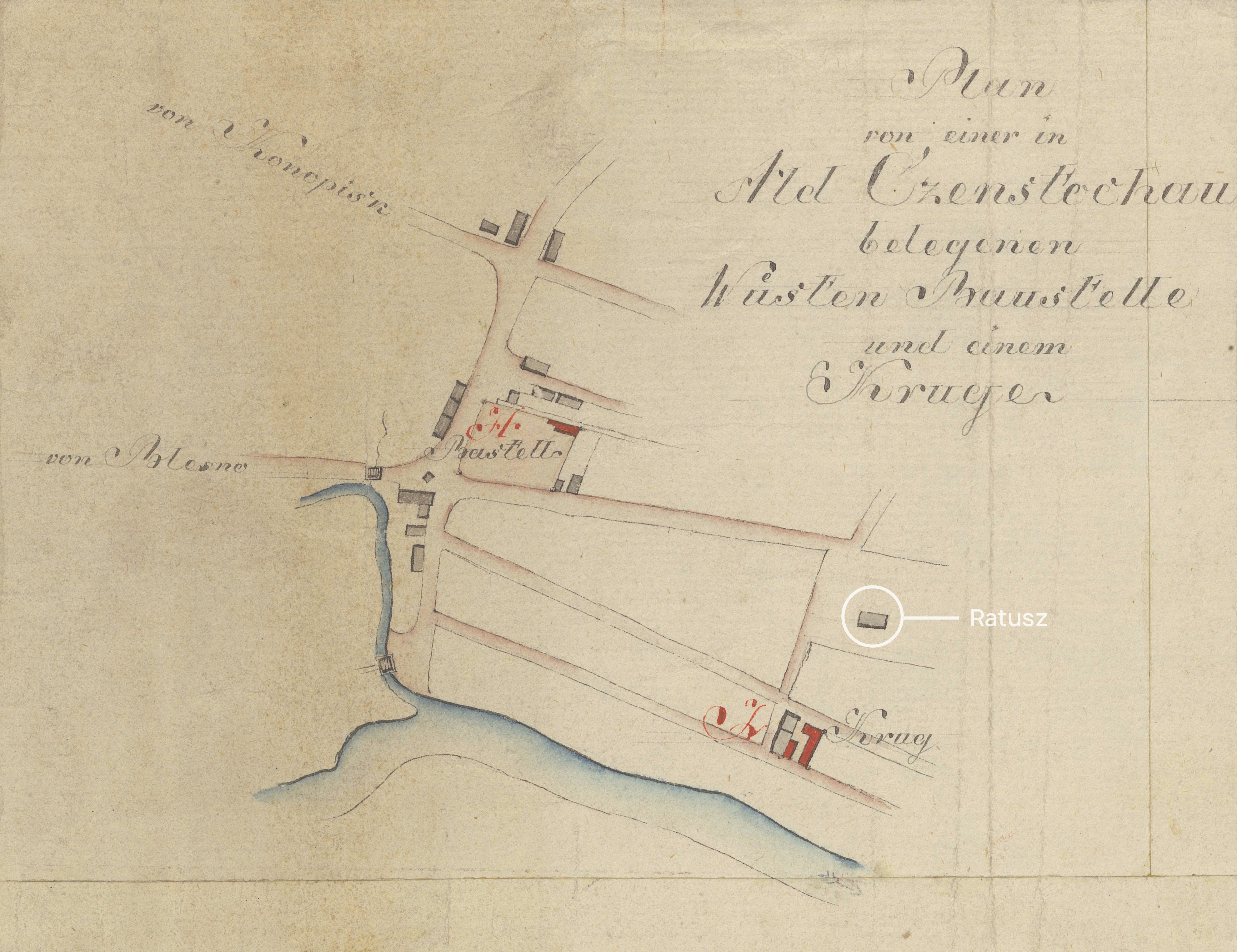

Old Częstochowa City Hall on a fragment of a Prussian map from around 1795.
Close-up of the first section Plan von einer in Alet Czenstochau belegenen Wustel Baustelle und einem Kruger
In the holdings of the Central Archives of Historical Records in Warsaw
Cartography selection, historical consultation: Amadeusz Szklarz-Habrowski, IH PAN
- Survey history

- What’s new
- Museum
- The Gallery of Sculptures by Jerzy Kędziora
- Old Market Square online
- Sightseeing with QR code
- About the project
- Contact