Przejdź do treści strony
Przejdź do głównego menu
Przejdź do menu okruszkowego - breadcrump
Przejdź do opcji ułatwień
Przejdź do wyszukiwarki
Przejdź do strony głównej
Zrewitalizowany Stary Rynek w Częstochowie
Główne menu
Survey history
What’s new
Museum
About the exhibition
Exhibit Catalog
Coins – the Warszawska treasure (a selection)
Coins – the Nadrzeczna treasure (a selection)
Coins – Old Market Square
Tiles
Ceramics
Devotional articles and decorations
Construction materials
Glass
Metal objects
Backfill
Relics of the Lusatian culture
360 objects
Educational game – 17th century costumes
Catalog of Cartographic Sources
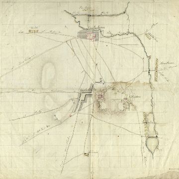
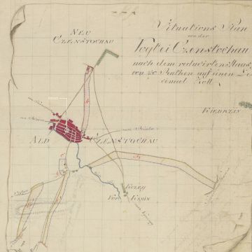
A map from the Duchy of Warsaw
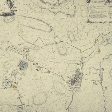
A French map from 1809
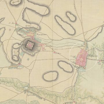
A Russian map from around 1812
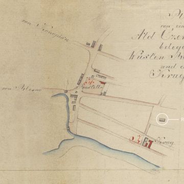
Prussian plan of circa 1795, section I
Prussian plan of circa 1795, section V
Interactive Maps
The engravings of Jan Aleksander Gorczyn
Relief of Jerzy Kędziora
Old Market Square Illustrated
Old Town
The Gallery of Sculptures by Jerzy Kędziora
Old Market Square online
Sightseeing with QR code
About the project
Wirtualny model starego ratusza
Contact
Menu okruszkowe - breadcrump
Back
Home
>
Museum
>
Catalog of Cartographic Sources
Opcje ułatwień
Pomniejsz litery
-
Domyślna wielkośc liter
A
Powiększ litery
+
Zmień na język polski
PL
włącz wyszukiwarkę
Szukaj
Treść strony
Lista artykułów
A map from the Duchy of Warsaw
A French map from 1809
A Russian map from around 1812
Prussian plan of circa 1795, section I
Prussian plan of circa 1795, section V
© Muzeum Częstochowskie 2021
Licznik odwiedzin: 578823
by
Strona przygotowana przez:
MultimedialneMuzeum.pl